Atlas of North America
Jump to navigation
Jump to search

|
Wikimedia Commons Atlas of the World The Wikimedia Atlas of the World is an organized and commented collection of geographical, political and historical maps available at Wikimedia Commons. Discussion ⢠Update the atlas ⢠Index of the Atlas ⢠Atlas in categories ⢠Other atlases on line |
The introductions of the country, dependency and region entries are in the native languages and in English. The other introductions are in English.
|
|
| ||||||||||||||||||||||
General maps

|
Location of the Americas |

|
Map of the Americas Mapa de América Carte de l'Amérique |

|
Map of the Americas Mapa de América Carte de l'Amérique |
North America
|
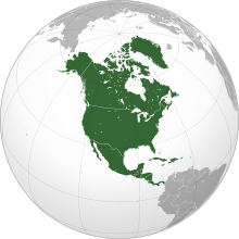
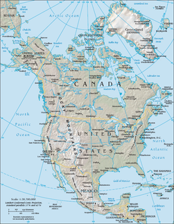
Map of North America |

|
Political map with 1st level divisions as of 1998 in SVG format |

|
North America bedrock and terrain |
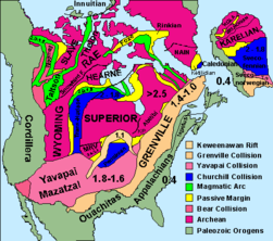
|
North American cratons and basement rocks |
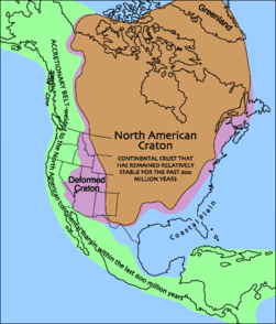
|
North American craton |

|
Sedimentary rock map |
|
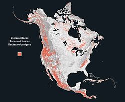
volcanic rock map |

|
plutonic rock map |

|
metamorphic rock map |

|
Map of Central America |
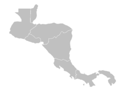
|
Blank map of Central America |
|
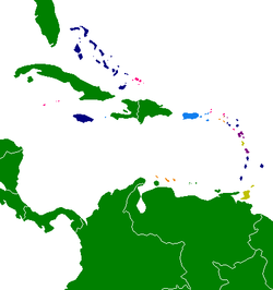
Caribbean by political system:
Independent Republics
Independent Commonwealth Realms
Independent Commonwealth republics
British overseas territories (dependencies)
French overseas departments and overseas regions (integrated), French overseas collectivity (dependencies)
Parts of the Kingdom of the Netherlands (dependencies)
|

|
The four NERC Interconnections, and the eight NERC Regional Reliability Organizations. |
History maps
This section holds a short summary of the history of the area of present-day North America, illustrated with maps, including historical maps of former countries and empires that included present-day North America.
|
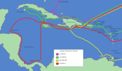
Voyages of Christoper Columbus |

|
Colonization of the Americas |

|
Spanish colonization |

|
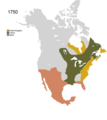
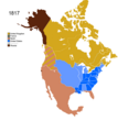
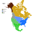
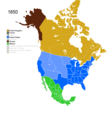
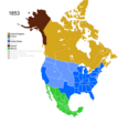
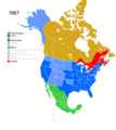
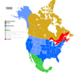
History of North America 1750-1999 |
Images
Old maps
This section holds copies of original general maps more than 70 years old.
|
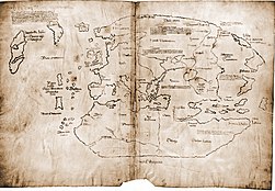
Map showing Vinland |

|
First map to show the name America |
|
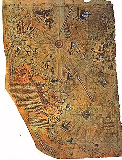
Piri Reis map |

|
Map of the Americas 1587 (Ortelius) |
|
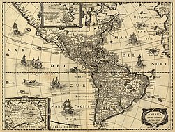
Map of the Americas 1637 (Hondius) |

|
Map of North America 1681 |

|
Map of the Americas 1705 |

|
Map of the Americas 1722 |

|
Map of the Americas 1770 |

|
North America 1797 |

|
Map of Central America and the Caribbean, |
|
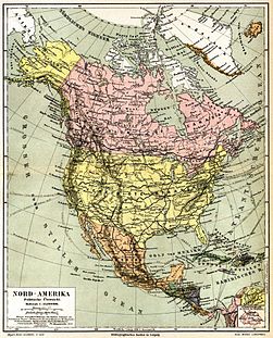
North America 1885 |

|
Central America 1892 |
|
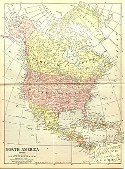
North America 1914 |
Maps of international organizations
|
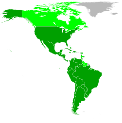
Organization of American States |

|
Rio Group |
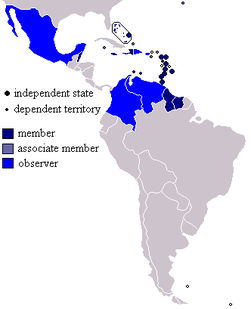
|
Caribbean Community and Common Market |
| Organisation of Eastern Caribbean States |

|
North Atlantic Treaty Organisation |

|
NATO versus Warsaw Pact 1949-1960 |

|
NATO Partners |
|
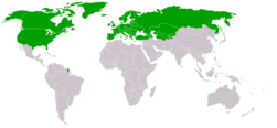
Organization for Security and Co-operation in Europe |
|
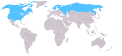
Arctic Council |

|
Asia-Pacific Economic Cooperation |
Ethnic maps

|
Native languages of North America |

|
Indian population of the Americas |
Satellite maps

|
Satellite map |
Notes and references
|
General remarks:
|
