File:CharlesBridgeMalaStranaPragueCzechRepublic.jpg
Jump to navigation
Jump to search


Size of this preview: 717 × 600 pixels. Other resolutions: 287 × 240 pixels | 574 × 480 pixels | 918 × 768 pixels | 1,224 × 1,024 pixels | 2,687 × 2,248 pixels.
Original file (2,687 × 2,248 pixels, file size: 3.11 MB, MIME type: image/jpeg)
Summary[edit]
|

|
This image has been assessed under the valued image criteria and is considered the most valued image on Commons within the scope: Bridge tower, Charles Bridge, Malá Strana, Prague, Czech Republic. You can see its nomination here. |
| Description |
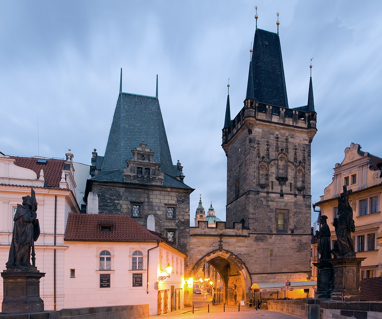
English: A view of the bridge tower at the end of the Charles Bridge on the side of Malá Strana in Prague, Czech Republic.
Français : La tour gothique et l’entrée du pont Charles dans Malá Strana, un des quartiers historiques de Prague, sur la rive gauche de la Vltava.
Nederlands: Zicht op de bruggentoren aan het einde van de Karels Brug aan de kant van Malá Strana in Praag, Tsjechië.
|
| Date | |
| Source | Own work |
| Author | Massimo Catarinella |
| Permission (Reusing this file) |
See license, attribution required - contact me to discuss less restrictive commercial licensing terms by email Special:EmailUser/Massimo Catarinella |
| Camera location | | View this and other nearby images on: OpenStreetMap - Google Earth |
|---|
I, the copyright holder of this work, hereby publish it under the following license:
|
This file is licensed under the Creative Commons Attribution-Share Alike 3.0 Unported license. | |
|
File history
Click on a date/time to view the file as it appeared at that time.
| Date/Time | Thumbnail | Dimensions | User | Comment | |
|---|---|---|---|---|---|
| current | 21:32, 26 April 2009 | | 2,687 × 2,248 (3.11 MB) | Massimo Catarinella (talk | contribs) | Less saturated |
| 11:55, 20 September 2008 |  | 2,687 × 2,248 (926 KB) | Massimo Catarinella (talk | contribs) | {{Information |Description={{en|1=A view of the bridge tower at the end of the Charles Bridge on the side of Malá Strana in Prague, Czech Republic.}} {{nl|1=Zicht op de bruggentoren aan het einde van de Karels Brug aan de kant van Malá Strana in Praag, |
- You cannot overwrite this file.
File usage on Commons
The following 8 pages uses this file:
- Karlův most
- User talk:Massimo Catarinella
- Commons:Featured picture candidates/Image:CharlesBridgeMalaStranaPragueCzechRepublic.jpg
- Commons:Featured picture candidates/Log/October 2008
- Commons:Quality images/Technical/Exposure
- Commons:Quality images candidates/Archives September 2008
- Commons:Valued image candidates/CharlesBridgeMalaStranaPragueCzechRepublic.jpg
- Commons:Valued images by topic/Places/Buildings/Other
File usage on other wikis
The following other wikis use this file:
- Usage on ang.wikipedia.org
- Usage on be.wikipedia.org
- Usage on bg.wikipedia.org
- Usage on br.wikipedia.org
- Usage on ceb.wikipedia.org
- Usage on cs.wikipedia.org
- Usage on en.wikipedia.org
- Usage on fa.wikipedia.org
- Usage on fr.wikipedia.org
- Usage on gl.wikipedia.org
- Usage on hr.wikipedia.org
- Usage on hu.wikipedia.org
- Usage on hy.wikipedia.org
- Usage on ia.wikipedia.org
- Usage on is.wikipedia.org
- Usage on ja.wikipedia.org
- Usage on nl.wikipedia.org
- Usage on no.wikipedia.org
- Usage on pl.wikipedia.org
- Usage on pnb.wikipedia.org
- Usage on pt.wikipedia.org
- Usage on ro.wikipedia.org
- Usage on ru.wikipedia.org
- Usage on sh.wikipedia.org
- Usage on sk.wikipedia.org
View more global usage of this file.