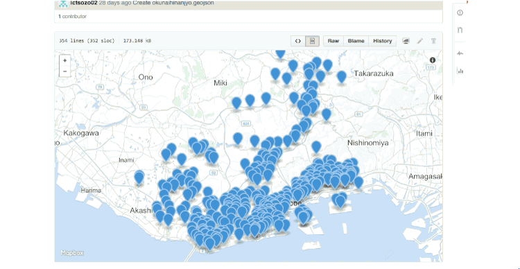
You've been able to view and diff geospatial data on GitHub for a while, but now, in addition to being able to collaborate on the GeoJSON files you upload to GitHub, you can more easily contribute to the underlying, shared basemap, that provides your data with context.
The basemap we use — the layer that includes common elements like roads, rivers, and buildings over which your data is displayed — is powered by OpenStreetMap. You can think of OpenStreetMap somewhat like Wikipedia for geospatial data. It's a community of mappers and an open, collaborative dataset.
Next time you view a GeoJSON file on GitHub, if you spot something that looks a bit off, simply click the "improve the underlying map" link in the top right corner of the map. From there, you can edit the map in your browser with a few clicks, or if you're in a hurry, you can leave a note for an editor to review later.
Last year millions of people used GitHub to collaborate on geospatial data. By making it a little easier to contribute back, we hope that the GitHub community can support the OpenStreetMap community, without which none of this would be possible.
Happy social mapping!